Drones in Archaeology

We use drones in our archaeological work.

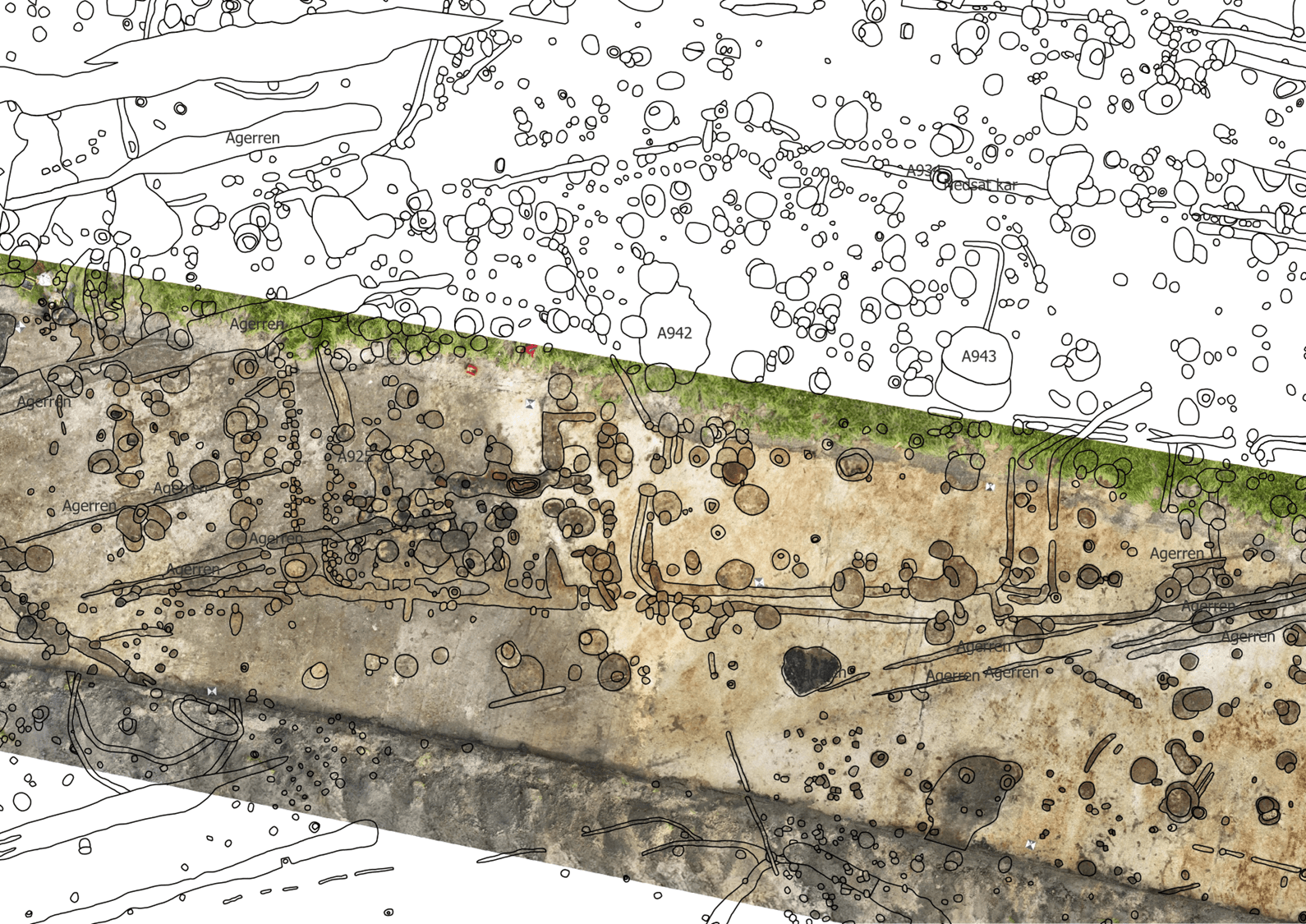
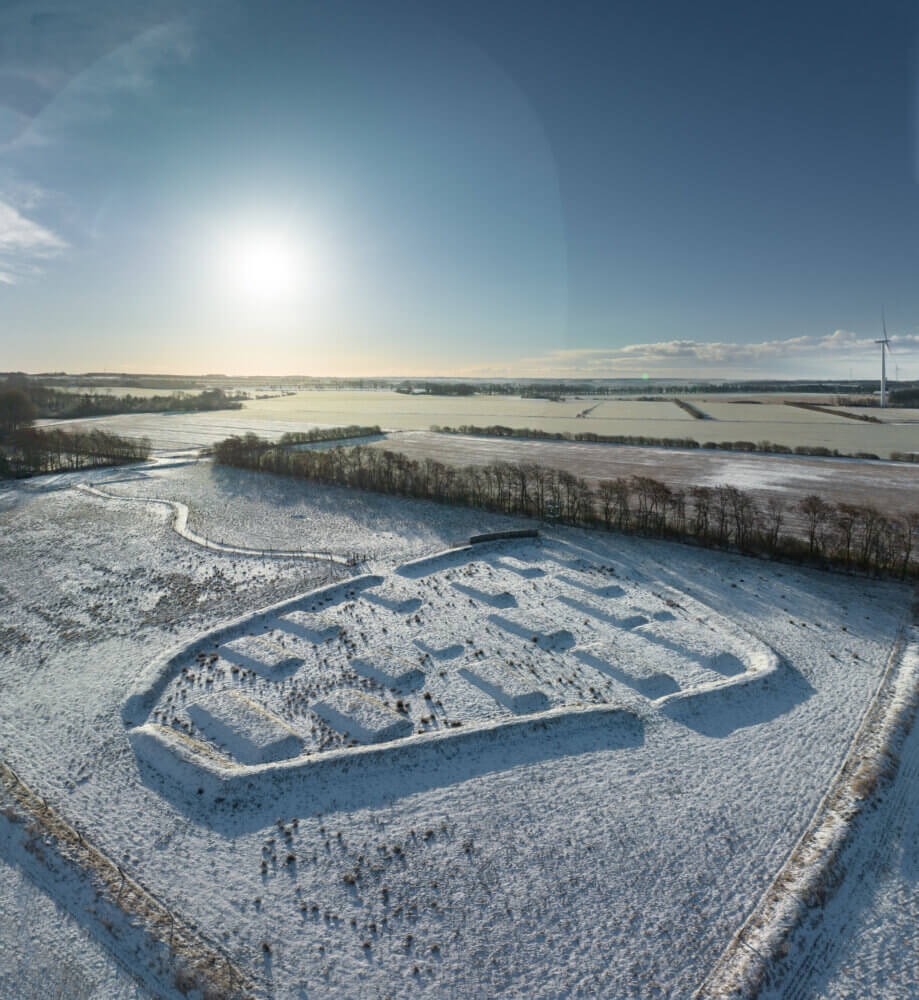
We use drones to photograph the excavation site. Survey points are marked using GPS. Based on this, we can create a georeferenced orthophoto—an image with coordinates. The orthophoto is digitized in a GIS program, where we map all the features we have outlined with a shovel.

The Use of Drones in Danish Archaeology 

Drone Report

Ringkøbing Fjord Museums

Bring history to life at 10 museums

Get free access to all museums

Easter 2026

Fiskeriets Hus

Fiskeriets Hus

Naturkraft

Naturkraft

Skjern Vindmølle

Skjern Vindmølle

Skjern Reberbane

Skjern Reberbane

Ringkøbing Museum

Ringkøbing Museum

Provstgaards Jagthus

Provstgaards Jagthus

Lyngvig Fyr

Lyngvig Fyr

Kaj Munks Præstegård

Kaj Munks Præstegård

Bundsbæk Mølle

Bundsbæk Mølle

Abelines Gaard

Abelines Gaard

Bork Vikingehavn

Bork Vikingehavn